News
Many aspects of life find Unmanned Aerial Vehicles indispensable
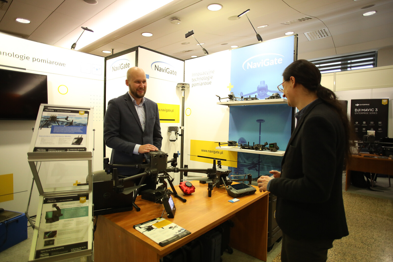
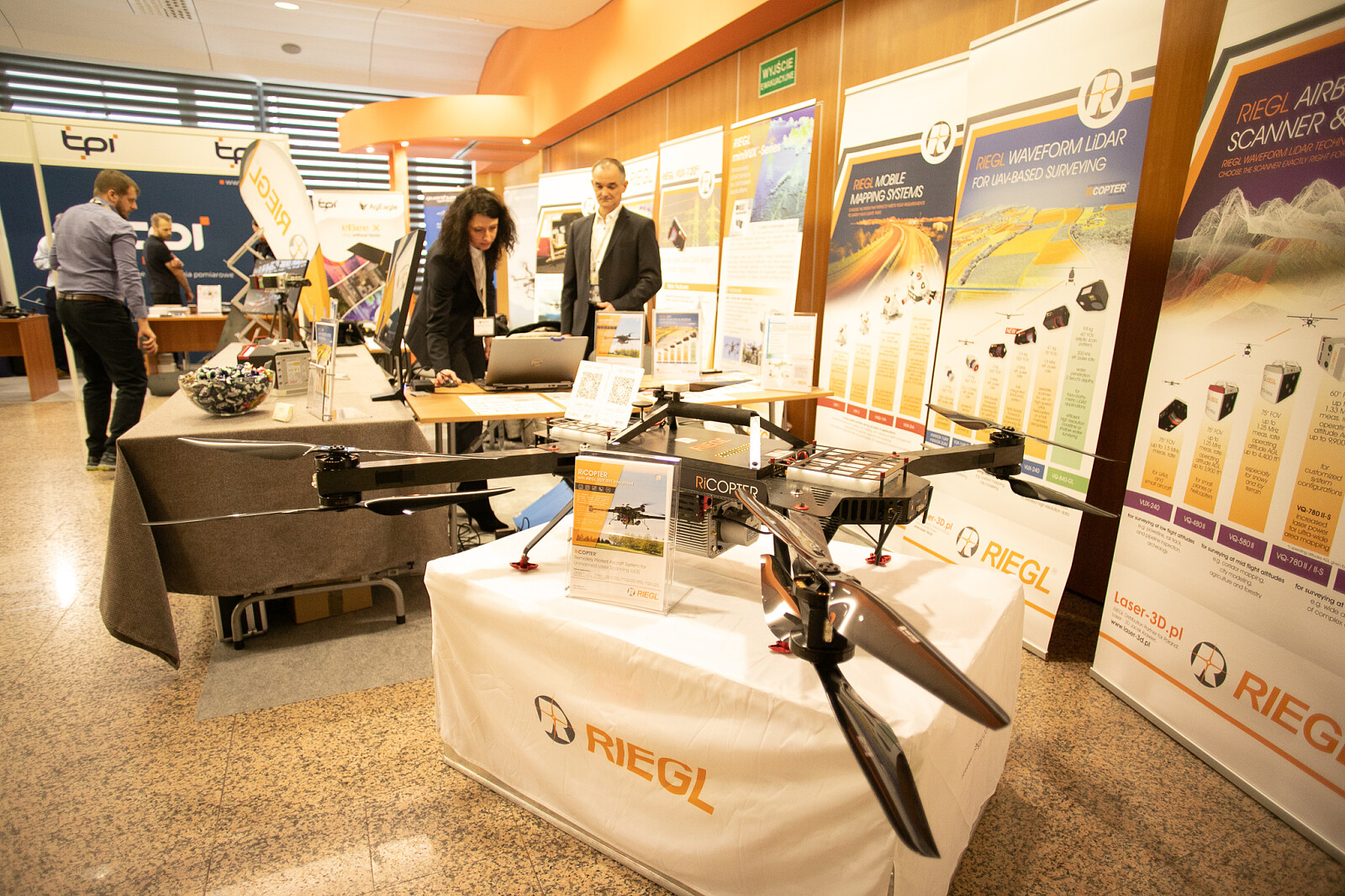
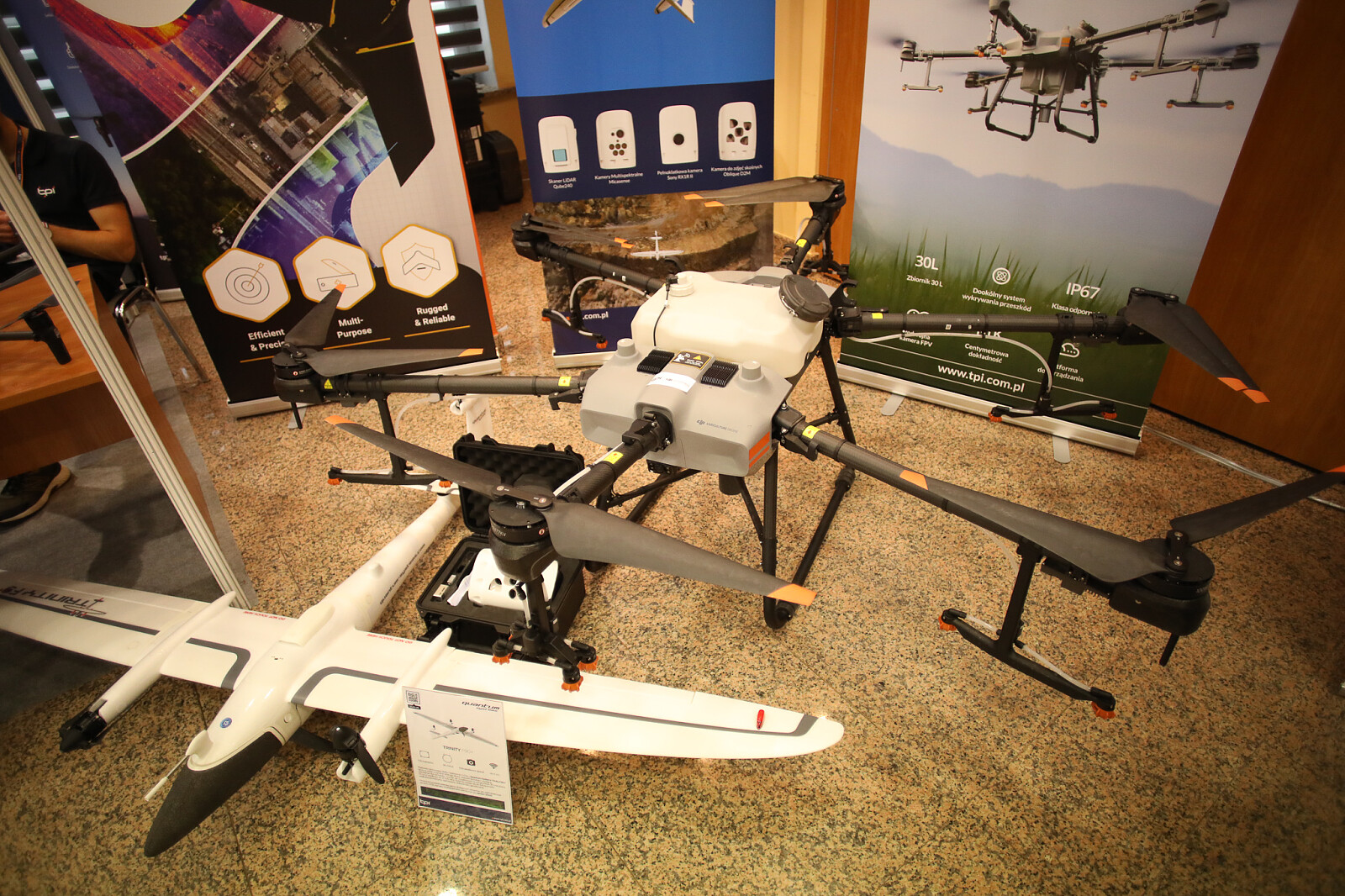
The exhibition complemented the International Drone Event – World of Measurements conference at the Targi Kielce Congress Centre. The leading companies from the industry present their products and services, the list includes RIEGL/Laser-3D.pl, TPI, NaviGate and Geotronics Dystrybucja presented the latest drone solutions. A dancing dog-robot worth hundreds of thousands of PLN and the functioning of the system used in the search for missing persons have also been fetured.
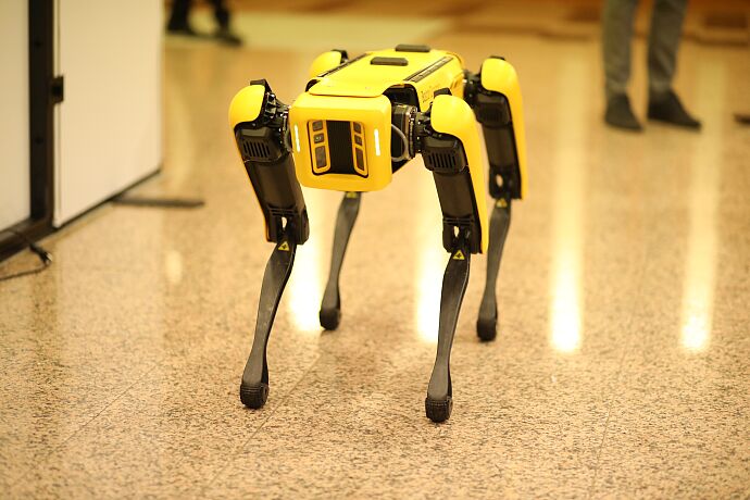
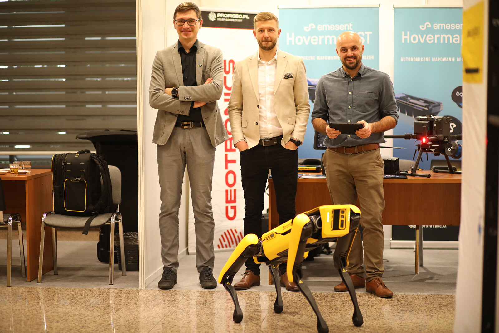
A dog robot - a carrier of measurement systems
A dog robot, Spot by Boston Dynamics is the most advanced device of this type. The robot imitates the movements of a dog and offers a very high efficiency. The expo stand of Geotronics Distribution was the showcase
- The technology is the closest to the ideal, i.e. a living creature. Spot is a carrier of measurement systems such as laser scanners, GNNS receivers; the objective is to replace man in a dangerous situation which pose a danger to human life or health. It reaches where drones can't reach. The Spot robot stands on four legs, it does not require too much energy as in the case of an ordinary drone. This is of great importance to surveyors; a longer working time is an asset – emphasised Wojciech Stolarski from Geotronics Distribution.
The Sspot can be used in measurements wherever it is too risky for humans, e.g. in mines and in buildings at risk of collapsing. The data collected by Spot can be analysed and used in a metric way.
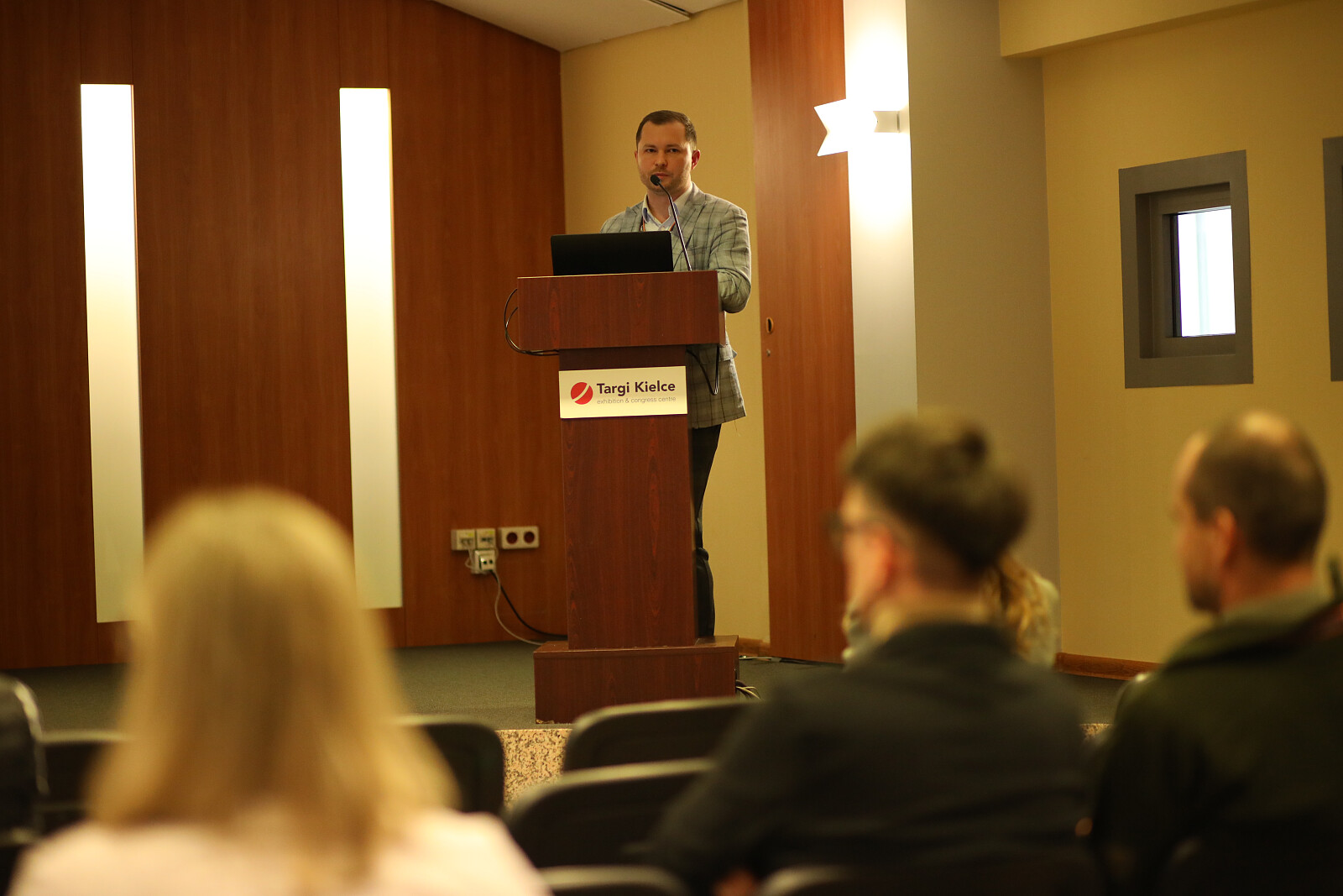
Life-saving drones
The lecture by Wojciech Gruźliński from the aeroMind offered the participants of the IDE-World of Measurements conference the chance to learn about the drones and the system for searching for missing persons. The SARUAV software has been developed at the University of Wrocław, the software analyses photos taken by a UAV. The software makes the detection of people easier as this system makes the most of artificial intelligence. Already in June 2021, the wanted man was found in the wetlands in the Beskid Niski aera. The system can be used by rescue and uniformed services, such as the fire brigade and the police.
Drones for every farmer
Artur Malczewski from TPI said, drones are used not only for land surveying and filming, but also in agriculture, manufacturers argue that the UAV will be used large companies, but also by ordinary farmers.
- The biggest plus offered by cutting edge drones is the automation. In the past, you had to know how to fly, get a permission and comply with other requirements, a modern drone equipped with an appropriate software to do it for us. Just press the button - Arthur explains.
A professional UAV, in addition to ordinary photos and videos, can also take thermal photos, and ultraviolet photos and map the area in three dimensions. Top-models can automatically fly into an aperture just larger than UAV by only 2 cm.
- The prices of semi-professional UAV start at around PLN 10,000, and there is no upper limit. You need to pay 50.000 PLN for qa top model - Matrice 300 RTK, which weighs about 5 kilograms and is about a meter in size, it can reach a speed of almost 90 km/h. Attachments ara paid extra. However, the software is important, which may increase the price by several dozen thousand PLN. Good software makes even a low-end drone's work more efficient - Artur Malczewski says
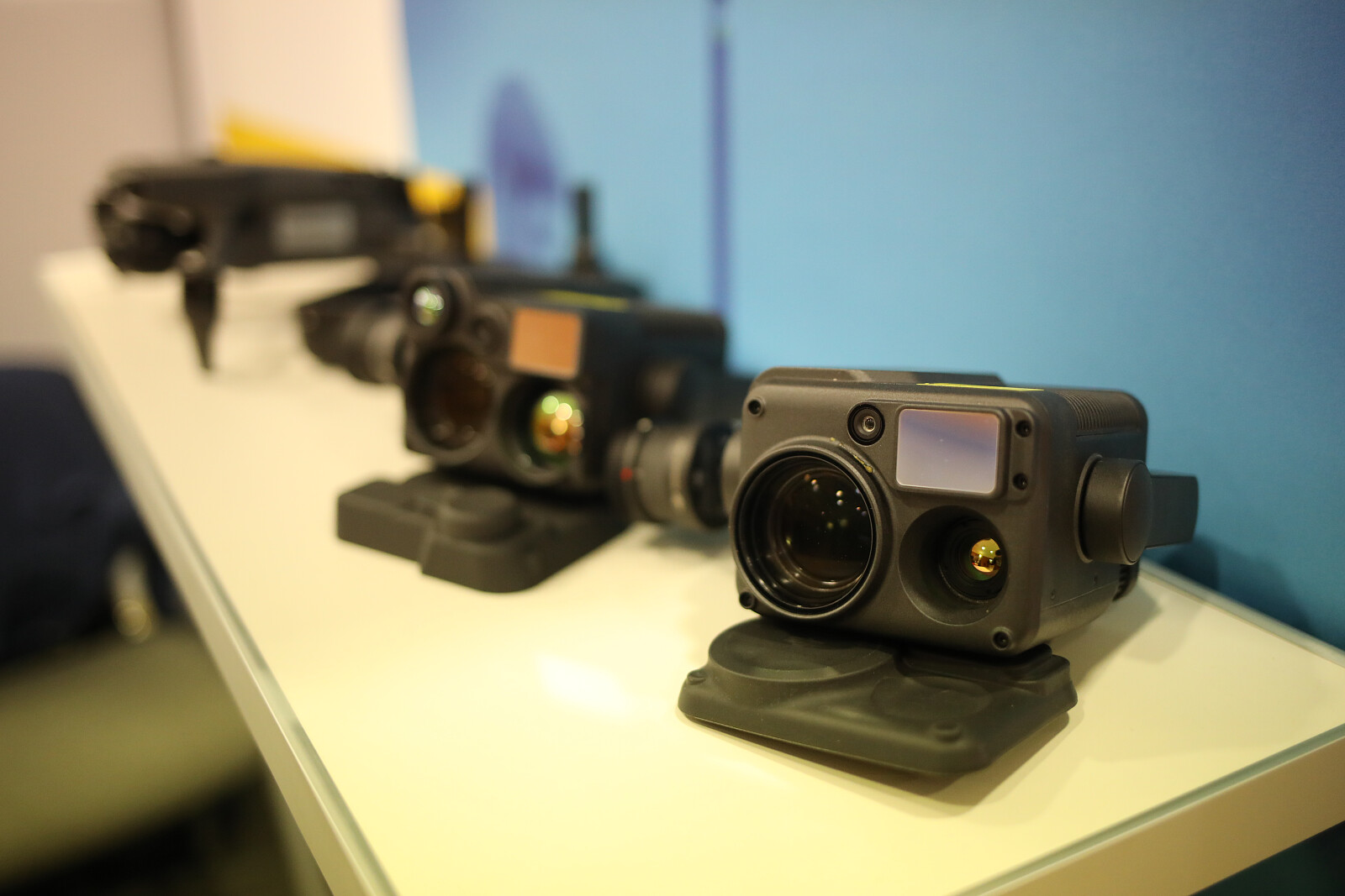
Laser mapping used in forestry and computer games
IDE is a real magnet owing to the presence of 3D laser mapping technology. Jacek Krawiec from the Laser-3D company explains - the possibility of mapping any terrain in three dimensions to put it simply. And it's not just about photos.
- Laser mapping of a forest and the image transfer into virtual reality makes you feel move around at will. One can also determine trees species, age are and the area under trees, which helps in discovering old trails or hidden ruins for example – said Jacek Krawiec.
Laser mapping used in forestry and computer games is also discussed here; this proves especially useful when the creators want to transfer a Polish monument into a game so that it can be explored at the user's will.
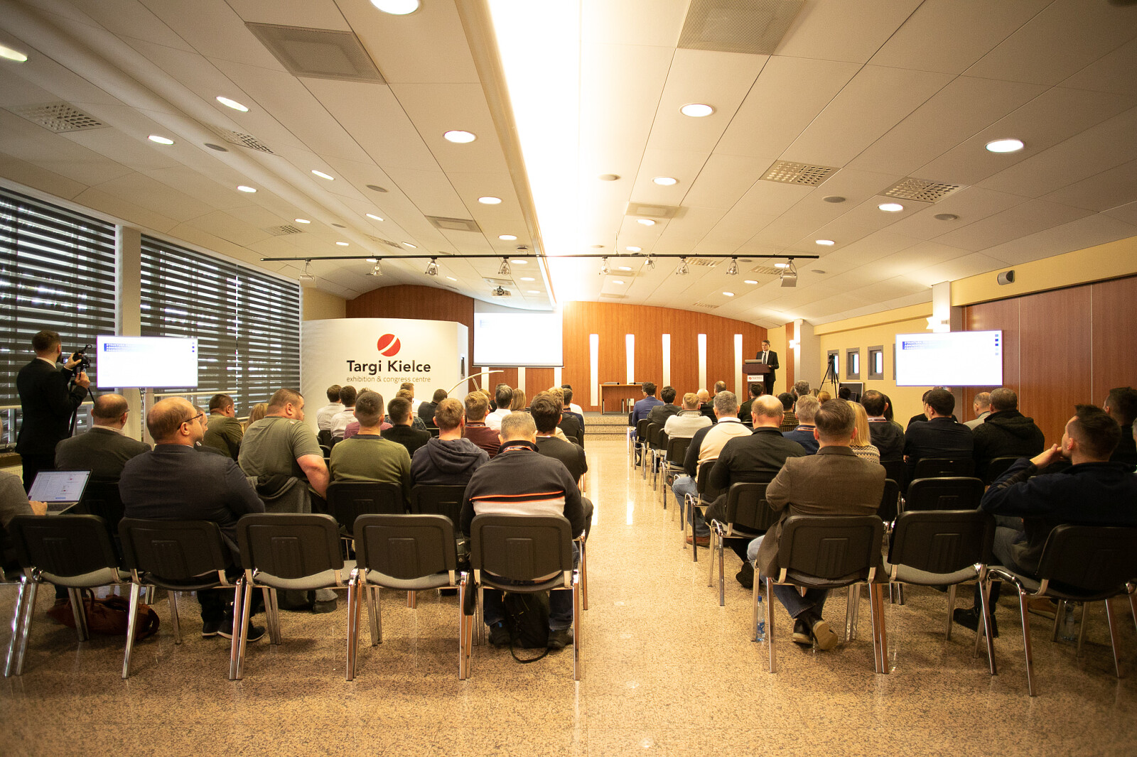
The IDE-World of Measurements conference and exhibition have commenced at the Targi Kielce's Congress Centre. The event is held on 24 and 25 November.

(MS)
Recommended articles
